
The Canary Islands are the one European cruise region where the weather changes sides of the island rather than days of the week. La Palma shows it most sharply: under 300 mm of rain a year on the dry south-west coast, and a north-eastern slope wet enough to carry laurel forest — the same trade-wind cloud that the trees comb for water, and that has kept a village in court over its springs for twenty-six years. The articles here are written from days ashore rather than from a holiday. Where the ship ties up, how far the old town really is, what the ship’s excursion delivers against a hire car or the island bus, what each costs in the current season, and how much buffer to keep before all-aboard. Santa Cruz de La Palma opens the collection: a berth ten minutes’ walk from the old town, a green north most visitors never reach, and an excursion sold under the name of one laurel forest that actually stops at another. Prices and timetables carry the season in which they were checked, and the photographs were taken on the day described.
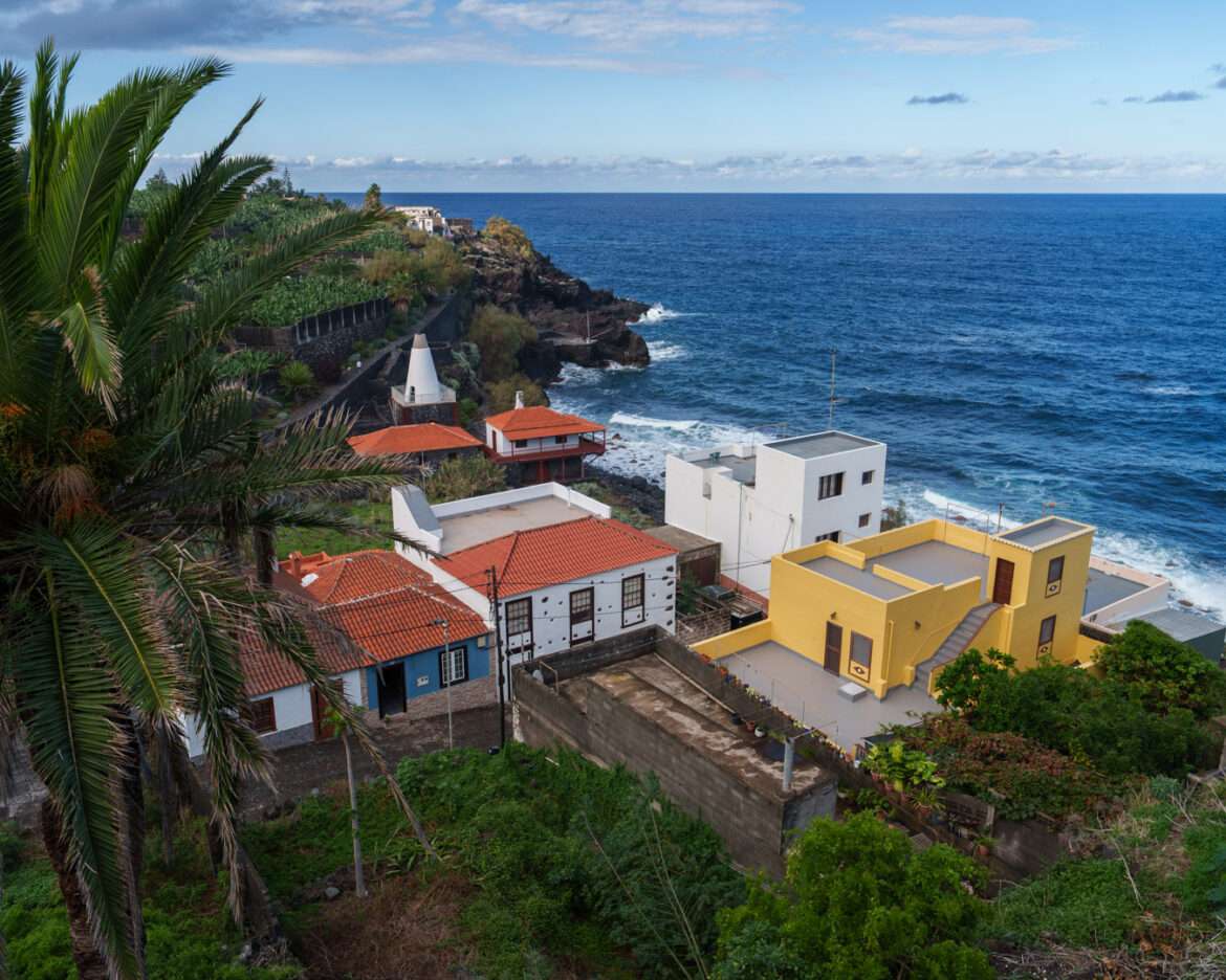
Visited: 22 October 2026, on a call of MS Amadea at Santa Cruz de La Palma.
Yes — on a long call the green north is the better half day, and on this island it is the excursion the weather is least likely to cancel. The ship’s coach tour “The Green North and San Andrés” runs about four and a half hours and costs 49 €, with roughly an hour and a half of that on foot. One thing to know before you book: the brochure sells the laurel forest of Los Tilos, and the coach stops at Cubo de la Galga, a different forest in the neighbouring municipality.
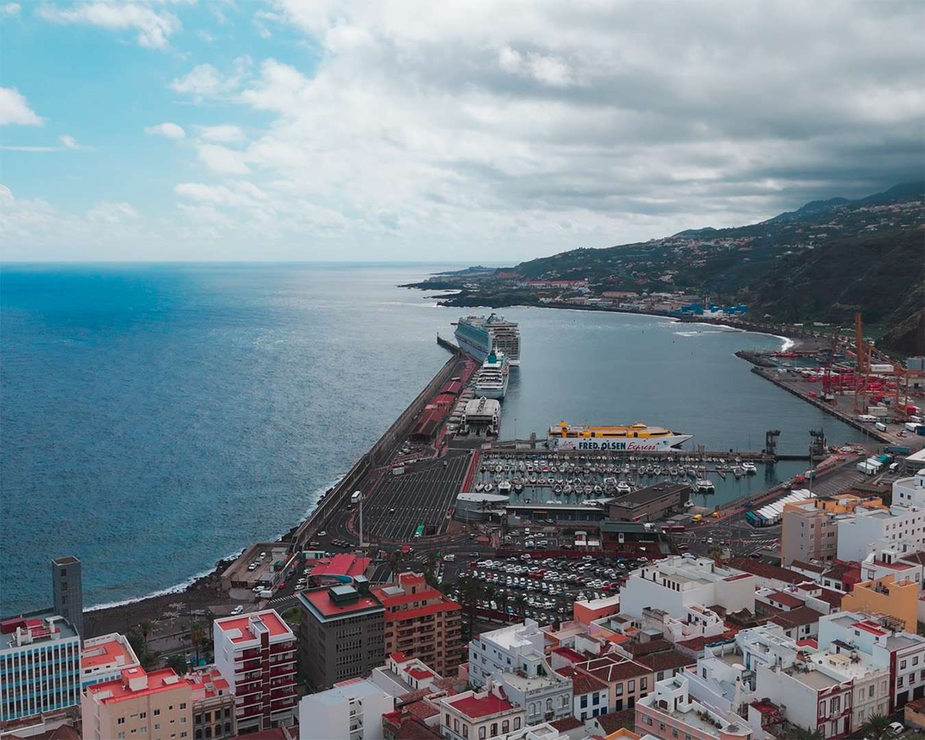
Santa Cruz de La Palma at a glance
| Berth | Alongside the harbour mole on the south side of the town — no tender, no shuttle needed |
| Distance to the old town | 10–15 minutes on foot along the waterfront · flat · paved |
| Ship’s tour to the green north | “The Green North and San Andrés” · approx. 4.5 h · 49 € · about 1.5 h of it on foot |
| The forest stop | Cubo de la Galga, municipality of Puntallana — not Los Tilos, despite the programme text |
| Terrain on the walk | Steep in places, slippery when wet. Limited numbers, not suitable for restricted mobility |
| Which forecast to check | The one for the east of the island, not for the port — the two sides differ sharply |
| Return buffer | 45–60 minutes before all-aboard if you drive yourself; the ship waits for its own tours |
| Visited | 22 October 2026, MS Amadea. Excursion prices from the operator’s programme, dated June 2026 |
Where the ship docks in Santa Cruz de La Palma
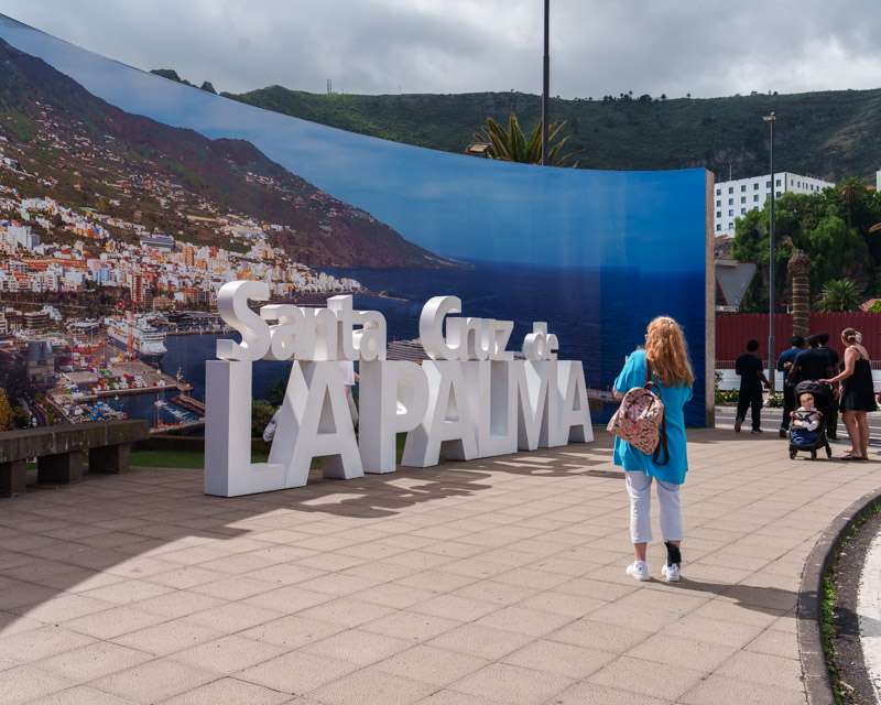
Ships come alongside the mole on the south side of the harbour — no tender, no shuttle needed. The walk into the historic centre is flat and takes ten to fifteen minutes along the waterfront. That matters for the decision below: in Santa Cruz you do not have to choose between the town and an excursion. You can do the town in the time left over.
Our call was scheduled from 13:00 to 23:00, which is unusually long, and the ship was alongside around midday. A late departure like that is what makes a four-and-a-half-hour afternoon tour comfortable rather than tight.
What the green north tour actually visits
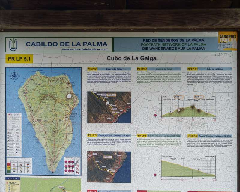
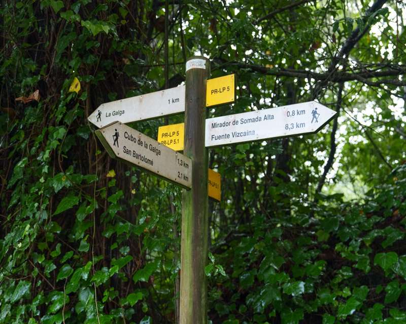
Three stops, in this order: the Mirador de San Bartolomé, a laurel forest, and the village of San Andrés with a rum distillery. The printed programme describes the middle stop as “the laurel forest of Los Tilos in the north-eastern part of the island.” It is not. The coach pulls in at the car park of the environmental information point at Cubo de la Galga, in the municipality of Puntallana — the next municipality south of San Andrés y Sauces, where Los Tilos lies. The board at the trailhead says so plainly.
This is not a complaint — Cubo de la Galga is the better choice for a coach group, because the walk starts at the car park instead of at the bottom of a gorge. But if you booked the tour to see the waterfall and the visitor centre at Los Tilos, you will not see them, and no one on the coach will mention the difference.
Mirador de San Bartolomé: twenty minutes, and the whole island explained
The first stop sits on a ridge above the north-east coast, and it does something no other viewpoint on La Palma does quite as well: it shows you the island’s working principle. One edge, and a different climate on each side. The dry south-west coast gets under 300 mm of rain a year. This slope gets several times that, and the reason stands in the next valley.
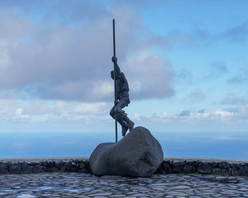
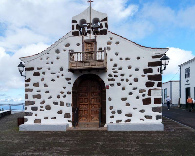
Beside the viewpoint stands a whitewashed chapel with the door and corners picked out in black volcanic stone, the standard Canarian pairing and a reliable photograph in any light.
The laurel forest: what thirty minutes buys
The walk from the car park is about half an hour, steep in places and slippery when wet, which on this slope is most of the time. The full waymarked route, PR LP 5.1, is a 12.4 km circuit with around 750 m of accumulated ascent — a day’s walking, not an excursion stop. The coach does the first stretch and turns back.
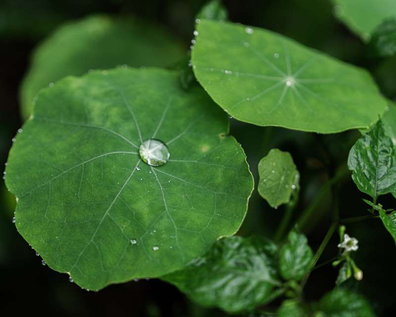
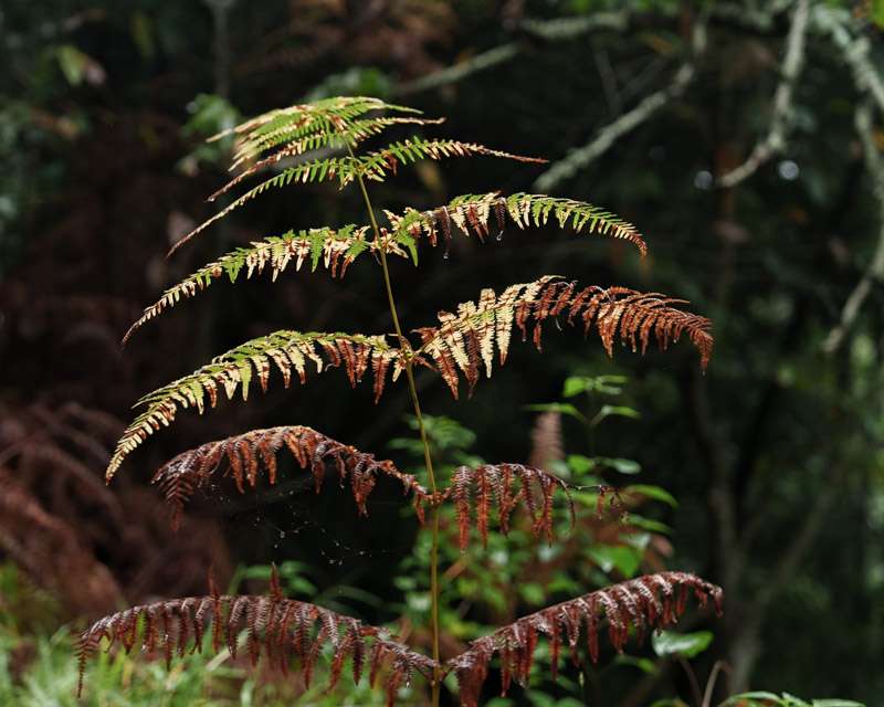
It is enough. The canopy closes over the path, the ferns stand taller than people, and the thing the forest is actually famous for is visible on every surface: this wood does not only collect rain, it combs water out of the trade-wind cloud that sits against the slope. Where that cloud band hangs, roughly between 500 and 1,200 metres on the eastern face, the laurel forest grows and nowhere else.
The protection history is worth knowing because it is unusually clear. The core of this forest — the El Canal y Los Tiles area — was declared a UNESCO biosphere reserve on 21 April 1983, covering 511 hectares. On 6 November 2002 the designation was extended to the entire island; today the reserve covers 87,251 hectares, of which 16,550 are marine. La Palma is one of the few places where “biosphere reserve” means the whole island rather than a fenced-off corner of it.
San Andrés: a village that spent twenty-six years in court over water
Down at the coast lies San Andrés, part of the municipality of San Andrés y Sauces — 42.75 km², and a population that has fallen from 5,392 in 1991 to about 4,350 today. Thirty minutes on foot is the programme, and thirty minutes is roughly what the place is: a church, a plaza, four or five lanes of whitewashed walls, dark red doors and palms over the rooftops.
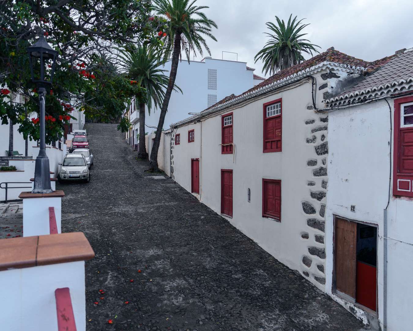
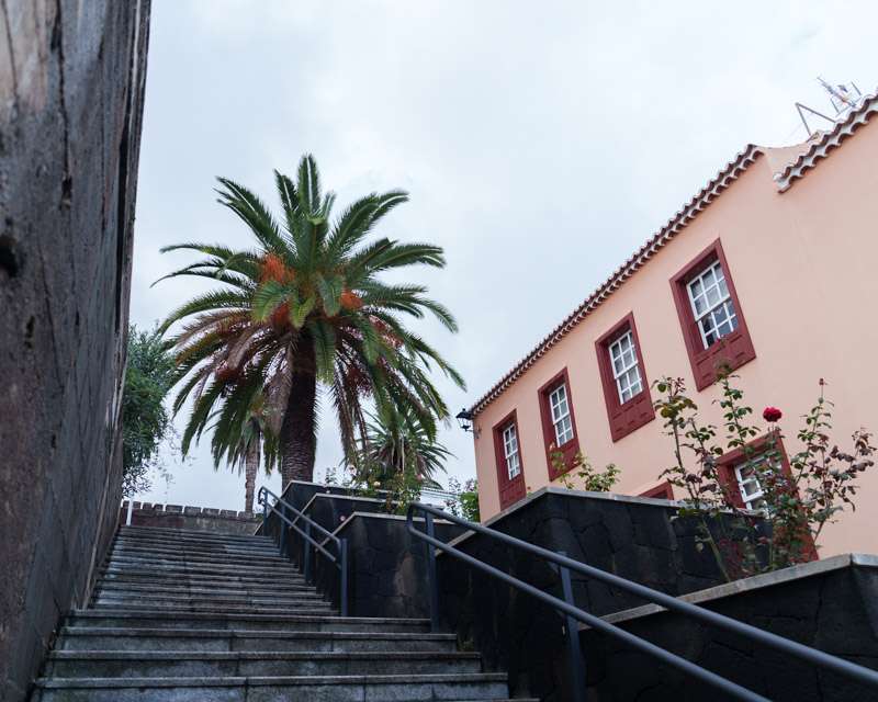
What the village is really about is the water coming out of the mountain above it. In 1903 the state declared the surplus waters of the Los Sauces ravine public property — and granted the concession, 310 litres per second, to a single house. The farmers organised in the same month. They calculated what they needed and put a figure on it: about 183 litres per second, for drinking water and for the fields. In 1923 a petition signed by 208 residents to have the concession annulled was refused. Only in 1929 did a royal order fix the growers’ community’s continuous draw at 165.54 litres per second. Twenty-six years from the grant to the settlement.
The aboriginal name for this stretch of coast was Adeyahamen. It is usually translated as “under the water”. The name was there long before anyone drove a tunnel into the mountain to get at it.
The rum distillery
The last stop is Destilerías Aldea, on the Carretera Puerto Espíndola, founded in 1936 by the Quevedo family. What makes it unusual is not its age but its raw material: the rum is distilled from freshly pressed sugar cane juice rather than from imported molasses, which in Europe is close to a one-off. On the tour it is a short visit with a liqueur tasting at the end.
If you come independently, note the booking rule: the distillery visit must be reserved in advance through destileriasaldea.es, and costs 10 € including the tasting. The shop alone is open without booking, Monday to Friday 10:00–18:00 and at weekends 11:00–18:00.
What it costs: ship’s tour against doing it yourself
| Option | Time | Price 2026 | Note |
|---|---|---|---|
| Ship’s tour “The Green North and San Andrés” | approx. 4.5 h | 49 € | Three stops, about 1.5 h on foot. Limited numbers, not suitable for restricted mobility |
| Ship’s tour, Caldera de Taburiente national park | approx. 3.5 h | 45 € | Viewpoint at 600 m, about 1 km on foot |
| Ship’s tour, Santa Cruz by road train | approx. 1.5 h | 29 € | Town only — and the town is a ten-minute walk from the ship |
| Hire car from the port area | 3–4 h for the same three stops | varies | The three stops lie on the LP-1 within about 30 km of the berth |
| Line bus 100, Santa Cruz northwards | allow a full day | not published online | Transportes La Palma, timetables on +34 922 411 924. The distillery is on line 4 from Los Sauces |
| Santa Cruz old town on foot | 1–2 h | free | Ten to fifteen minutes from the gangway |
Prices from the operator’s programme, dated June 2026.
Tour or on your own?
This is one of the ports where the ship’s tour earns its money, and not for the usual reason. The three stops are not hard to reach — a hire car does them in three hours. But they are spread along a mountain road on the wet side of the island, and that road is the problem.
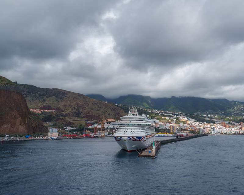
Our call fell on a day with an orange weather warning from AEMET for the east of La Palma, in force until 18:00, with up to 100 mm of rain forecast in twelve hours. The day before, San Andrés y Los Sauces had recorded 108 litres per square metre, the highest figure on the island. That morning there were power cuts in Santa Cruz and in the west, and roads towards the Caldera and into the capital were closed at times for flooding and rockfall.
The green north tour ran. That is the honest argument for booking through the ship on this island: if a road closes, the problem belongs to the operator and the ship waits. In a hire car on the LP-1 with a rockfall ahead of you, the problem is yours and all-aboard does not move. On a dry forecast, take the car. On a wet one — and on this coast the wet one is the normal one between October and February — take the tour.
Photo spots and light
The useful thing about this route is that it crosses the weather divide twice in an afternoon, which no single viewpoint shows you. At Cubo de la Galga everything was wet: water standing on every leaf, mist in the canopy, the understorey almost dark. Twenty minutes later at the coast the sky over San Andrés was open and blue with hard shadows in the lanes. Both in the same hour, on the same tour.
Practical notes: the forest wants a fast lens or a steady hand — under that canopy it is darker than it looks, and the interesting subjects are small and close, leaves and ferns rather than vistas. The whitewashed village in afternoon sun is the opposite problem, strong contrast between lanes and walls. San Andrés from the high ground, looking down over the palms to the Atlantic, is the frame worth keeping back a few minutes for.
What to check before you book
Three things. First, ask the shore excursion desk whether the forest stop is Los Tilos or Cubo de la Galga — if you want the waterfall, it is the wrong tour. Second, check the forecast for the east of the island, not for the port; the two differ more here than anywhere else in the Canaries. Third, if the call is short rather than overnight, the green north and the Caldera do not both fit, and of the two the north is the one that stays open in rain.
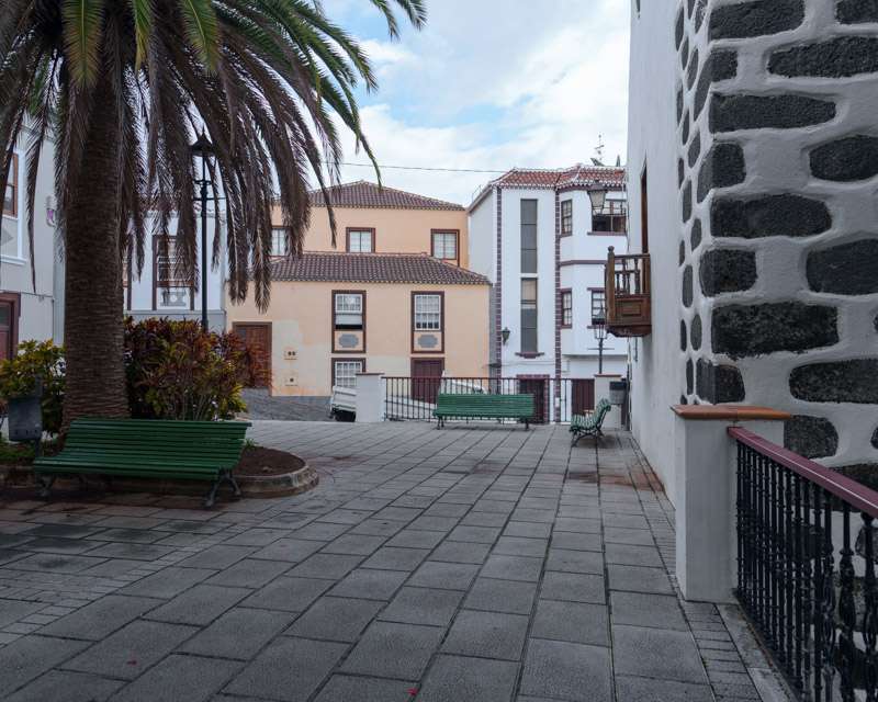
And whatever you book, keep the last hour for the old town. It is ten minutes from the ship, and almost nobody who took a tour bothers.
Written by Jan Madeus — ship’s videographer at sea since 2008. I go ashore in the same ports as the passengers, with the same few hours and the same deadline. More about me.
Related: Porto Santo on your own: the tender, the town and the beach · Funchal on your own: half a day in Madeira’s capital · More from the Canary Islands
Auf Deutsch lesen: La Palma auf eigene Faust — der grüne Norden ab Santa Cruz
Ports on this route — Madeira, the Canaries, the Azores and the Iberian coast: Porto Santo on your own · Funchal on your own · Funchal at night · Porto from Leixões: the six bridges · Lisbon on your own · Horta: Capelinhos on your own · Praia da Vitória on Terceira · All cruise ports on your own